
Use this as a concierge route for guests staying near Asakusa, Ueno, Ginza, or Tokyo Station.
Tokyo local travel sample
Weekend walk from Skytree to old-town Tokyo.
A compact showcase for local guides, hotels, travel creators, and tourism teams: turn a simple Tokyo route into an embeddable trip plan with photo markers, food stops, route context, and itinerary cards.
Skytree
Sumida
Cafe
Asakusa
Restaurant
Shibamata
Example angle
Show a complete local plan: skyline, river walk, cafe pause, temple visit, neighborhood meal, and old-town finish.
1 dayweekend route
6 stopsphoto markers
2 breakscafe + restaurant
Trip plan feature
Turn a route into a ready-to-share local guide.
This page shows how PhotoGeoMap can package a day walk as a practical trip plan: every stop has a generated image, location marker, timing, travel context, and a short reason to go. Cafes and restaurants sit inside the same route, so the plan feels useful to visitors rather than just scenic.
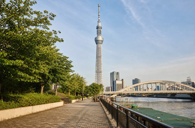
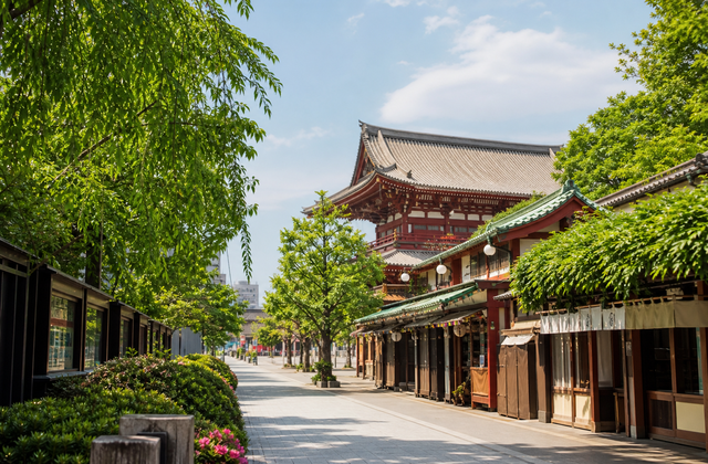
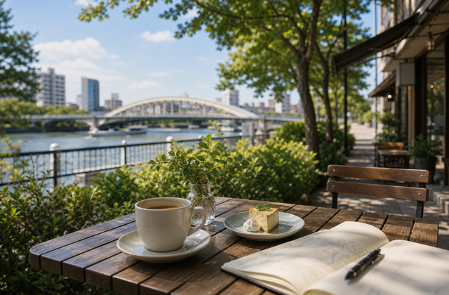
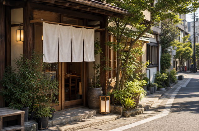
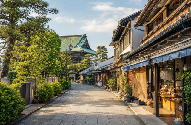
Package a local walk as a shareable post, QR map, newsletter link, or embed in a blog article.
Show how smaller neighborhoods like Shibamata can be connected to popular first-time Tokyo stops.
Estimated route
Tokyo weekend walk sample schedule.
09:30
Start at Tokyo Skytree
- Meet at Oshiage or Tokyo Skytree station.
- Capture skyline and tower photos while the route is still quiet.
- Use this stop as the visual hook in showcase screenshots.
11:00
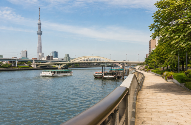
Walk along Sumida River
- Move from Skytree toward the river edge.
- Add photo stops for bridges, boats, and open sky.
- Position the map as a simple way to share local walking routes.
11:45
Pause at a riverside cafe
- Add a cafe marker so the route feels realistic for guests and day walkers.
- Use this stop for QR menus, partner promotions, or neighborhood recommendations.
- Show how non-landmark stops can sit naturally inside a visual trip plan.
12:30
Lunch and Senso-ji in Asakusa
- Visit Senso-ji and Kaminarimon.
- Show food, street, and shrine photos in one map album.
- Use the album as a sample for guide blogs and hotel area pages.
14:15
Choose a local restaurant stop
- Recommend a small neighborhood restaurant as a practical midpoint.
- Give partners a visible place in the route without breaking the travel story.
- Turn the map into a plan visitors can actually follow for the afternoon.
15:30
Train to Shibamata old town
- Continue by train for a quieter old-town ending.
- Visit Taishakuten temple and the retro shopping street.
- Show how PhotoGeoMap links famous and lesser-known places in one story.
Embedded live map
Use this block on a guide, hotel, or local tourism page.
Tokyo weekend walk map
This live album contains six image markers and a saved route: Skytree, Sumida River, a riverside cafe, Asakusa, a local restaurant, and Shibamata. It combines sightseeing, food stops, and transit into one shareable trip plan.
View route data