About PhotoGeoMap
Every photo has a place, and every place has a story.
PhotoGeoMap was created to make location memories easier to see, edit, share, and discuss. Instead of hiding GPS data inside photo files, the app brings those moments back onto a real map.
Our mission
Make photo albums feel alive on a map.
We build PhotoGeoMap for travelers, families, creators, local communities, and businesses that need more than a static gallery. A good photo often starts with where it happened, so the map becomes the first way to explore the memory.
What we build
A landing-page experience, inside the About page.
The About page includes the same product story as the landing page: upload photos, create album maps, browse by marker, and share a visual map with others.
Interactive map browsing
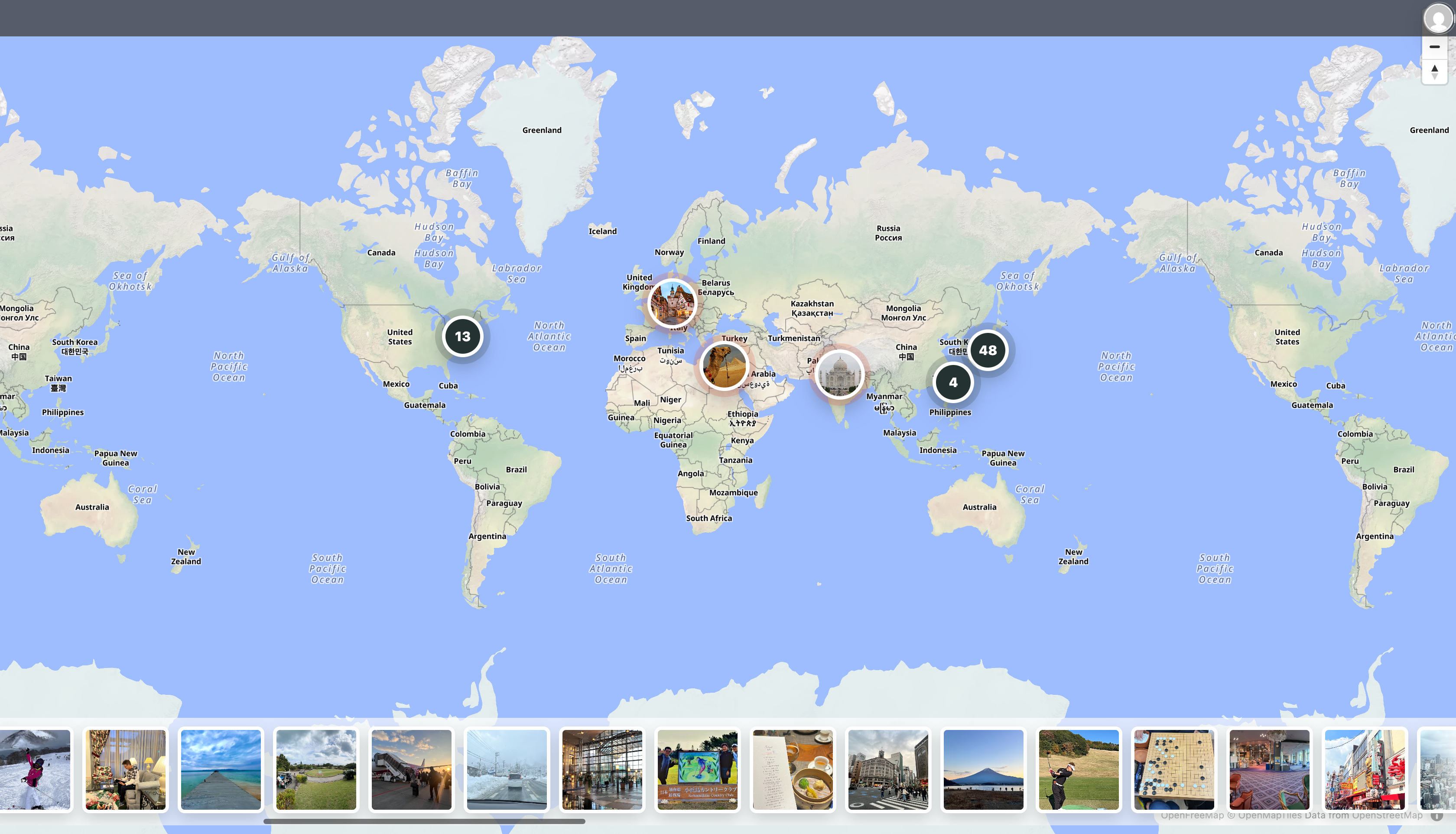
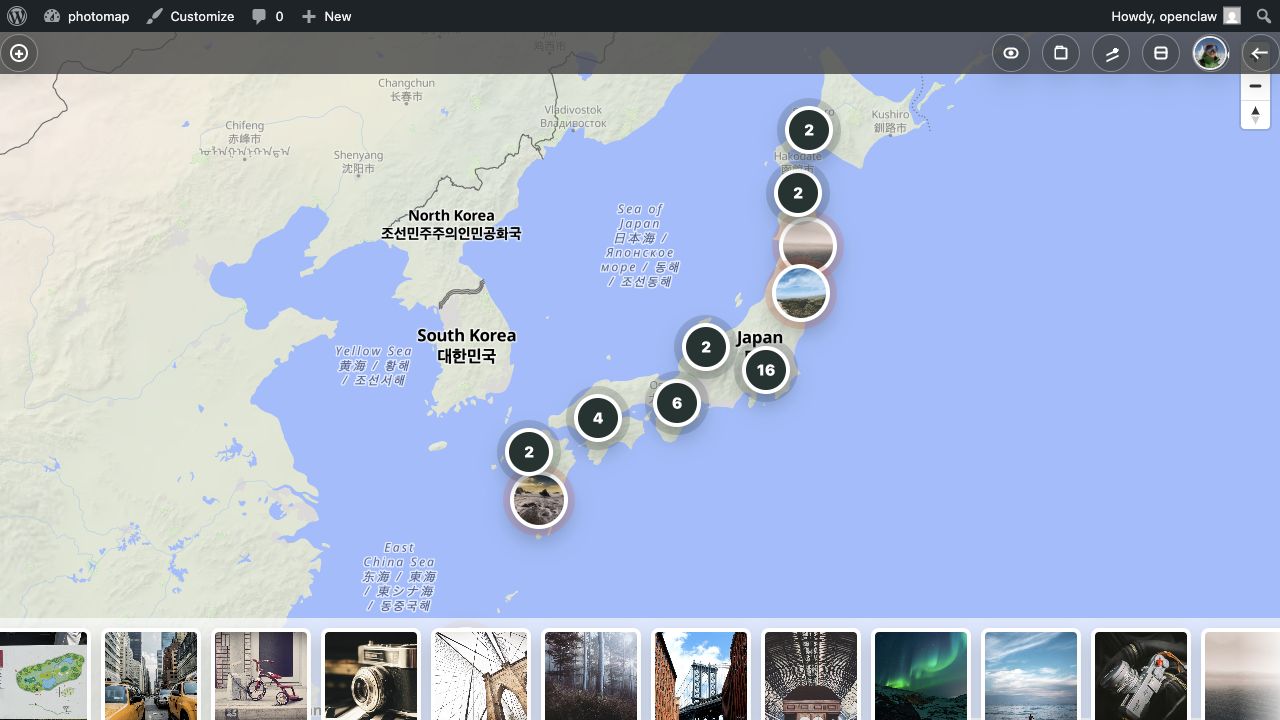
Photos appear as markers and clusters on the map, with a photo slider for quick visual navigation.
Easy upload
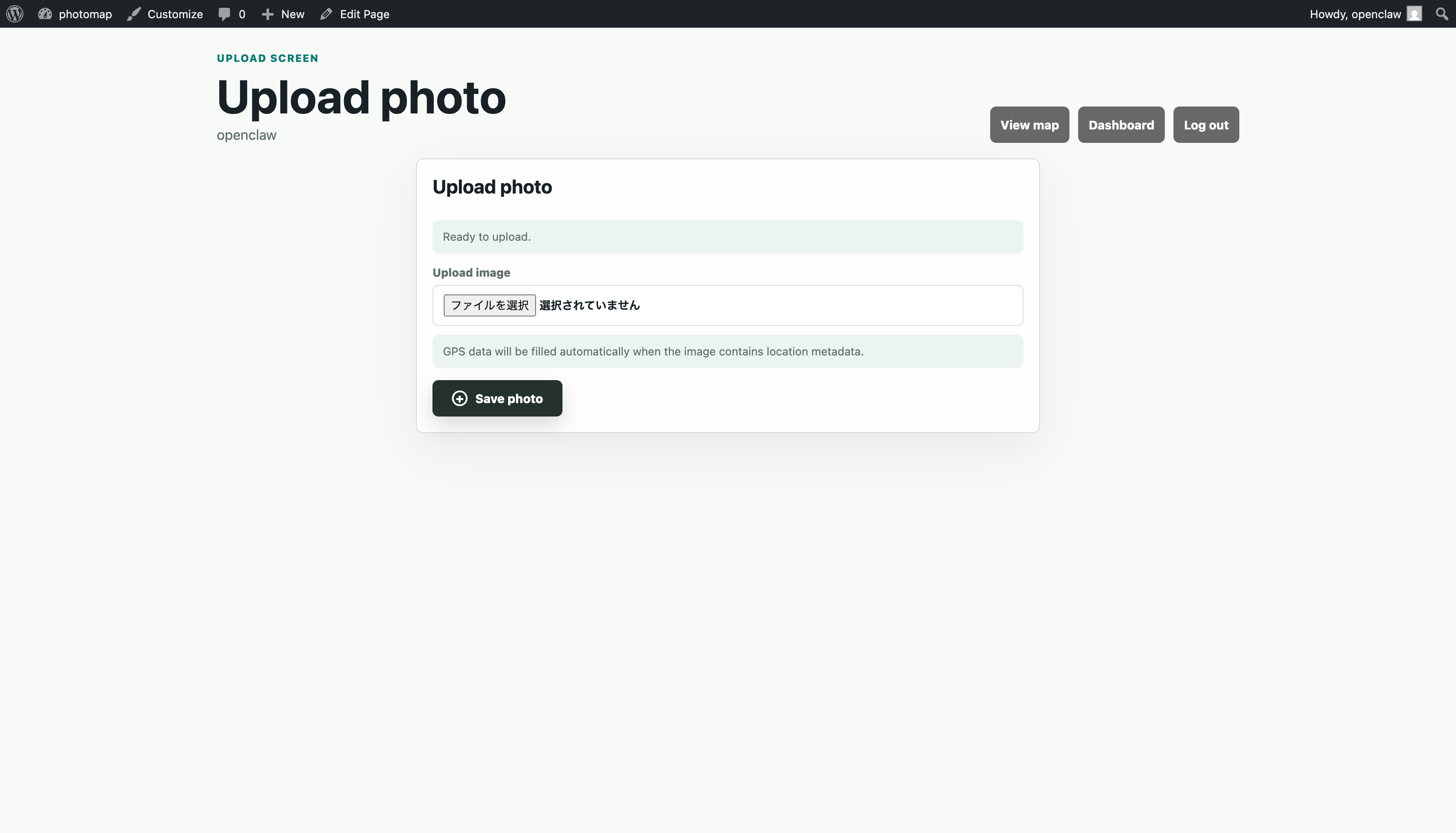
Members can upload photos, add comments, choose albums, and refine location records from the dashboard.
Flexible sharing
Share albums with public viewers, friends, or private member spaces depending on the story.
Who it helps
Built for real-world photo stories.
Travel journals, family memories, local guides, golf records, restaurants, studios, and real estate albums can all become map-based stories.
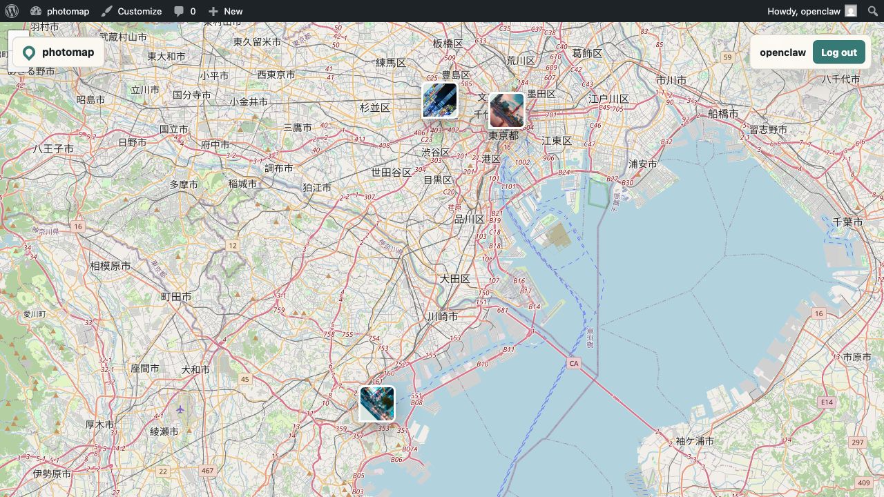
Travel memories
Open an album and see the full trip as places, not just a timeline.
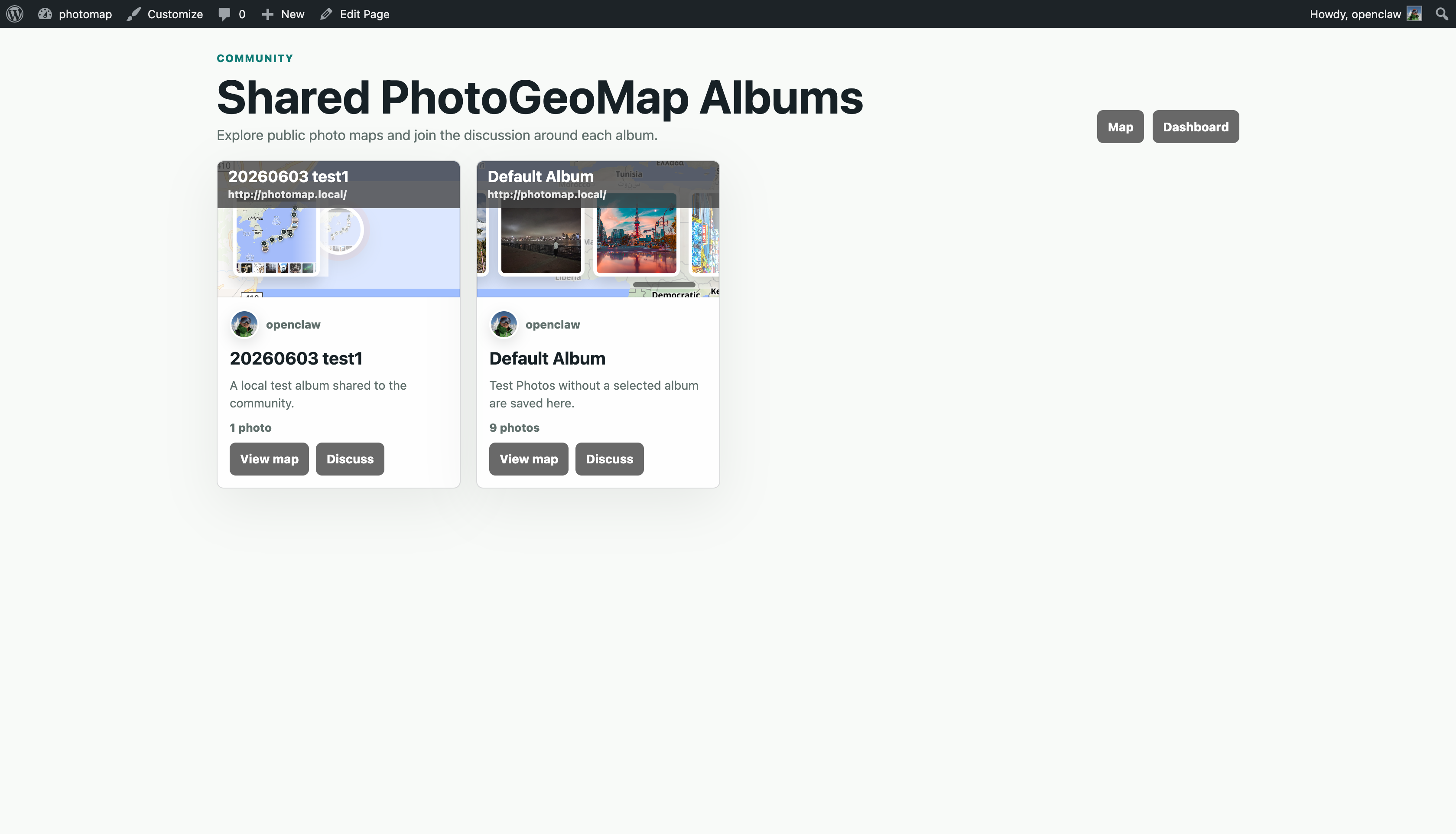
Community albums
Members can publish albums and discuss them with visitors or friends.
Place collections
Restaurants, parks, viewpoints, and venues are easier to remember when the photos stay tied to the map.
How it works
Three steps from photo files to shared maps.
Upload photos
PhotoGeoMap reads available GPS data and creates map-ready records.
Organize albums
Group photos by trip, place, theme, project, or member space.
Share and discuss
Use map links, QR codes, public spaces, or friend-shared albums.
Start building your own photo map.
Bring your photos back to the places where they happened.